
Exporting map view with legends
Exporting map view with legends in Glint Solar
Quickly create a snapshot of the map with information on all of the layers you have included and the objects of your choice. This a great way to communicate a wealth of information in a simple way. Use this function to support your permit applications or conversations with landowners.
How to use
- Right click on the map and select Export map view.
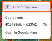
You can customize your map exports with specific settings for:
Coordinate System: Choose the exact projection you need. We'll even suggest recommended systems for your specific map area.
Scale: Set a precise map scale (e.g., 1:15000).
Paper Size: Currently available for A3 (which is similar to 11" x 17").
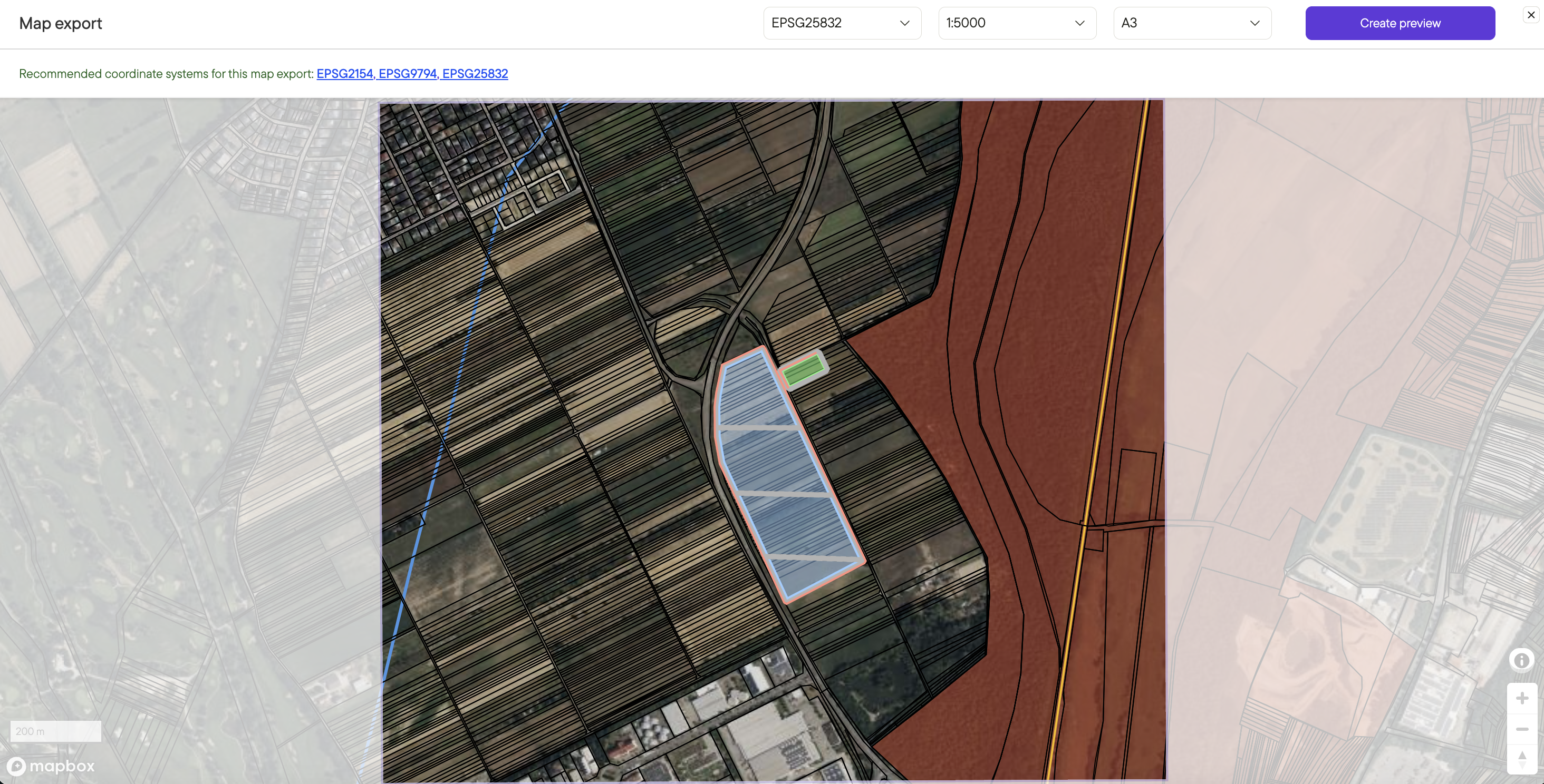
Interactive Preview and Panning
Once you select your settings, you'll see a live preview of the reprojected and scaled map. You can easily pan the image to frame the exact boundaries you want before printing, giving you complete control over the final output. Note: if repojection is enabled you can only change the zoom level using the Scale selection tool. If reprojection is disabled you can zoom in and out with your scroll wheel.
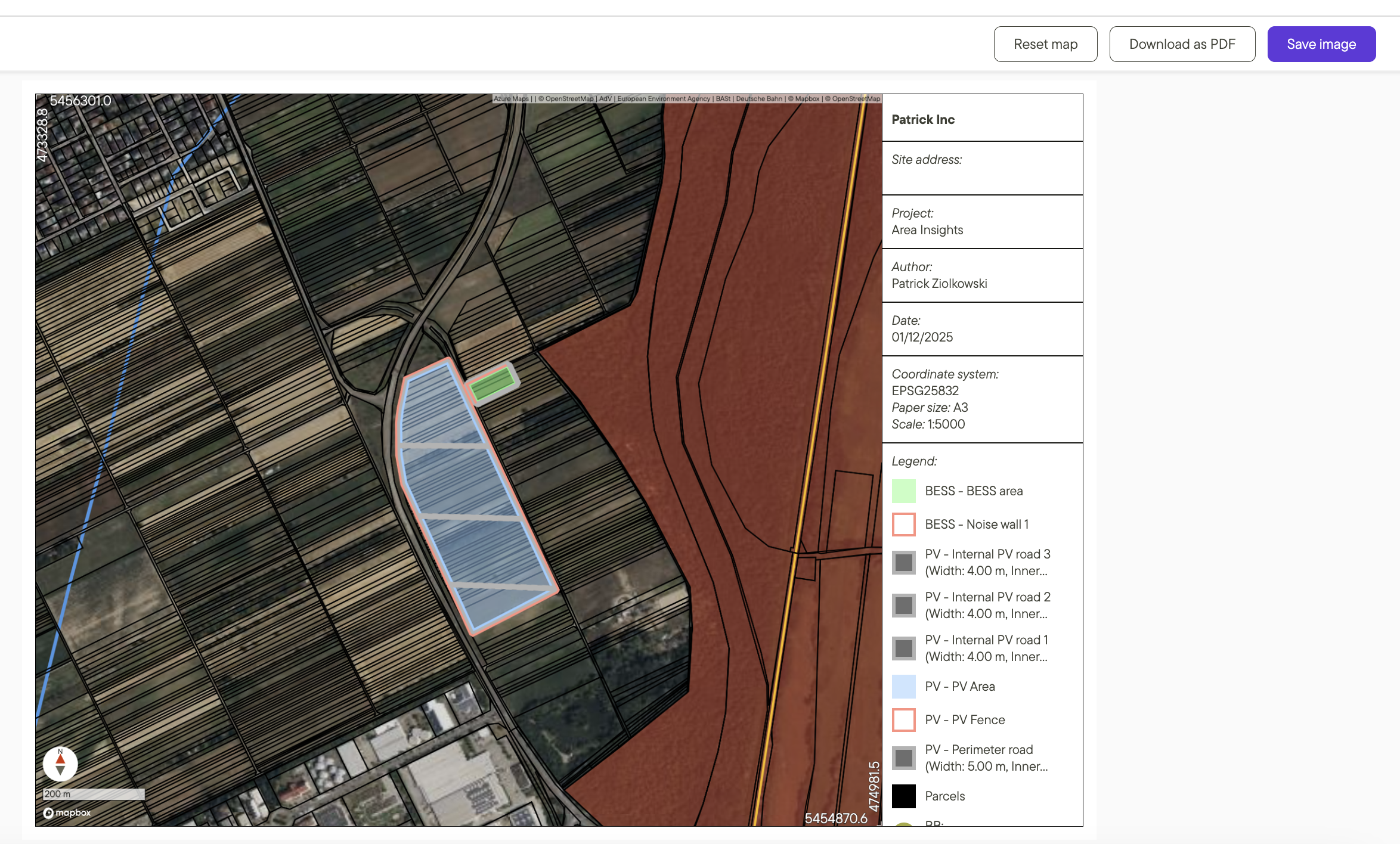
How to Enable This Feature
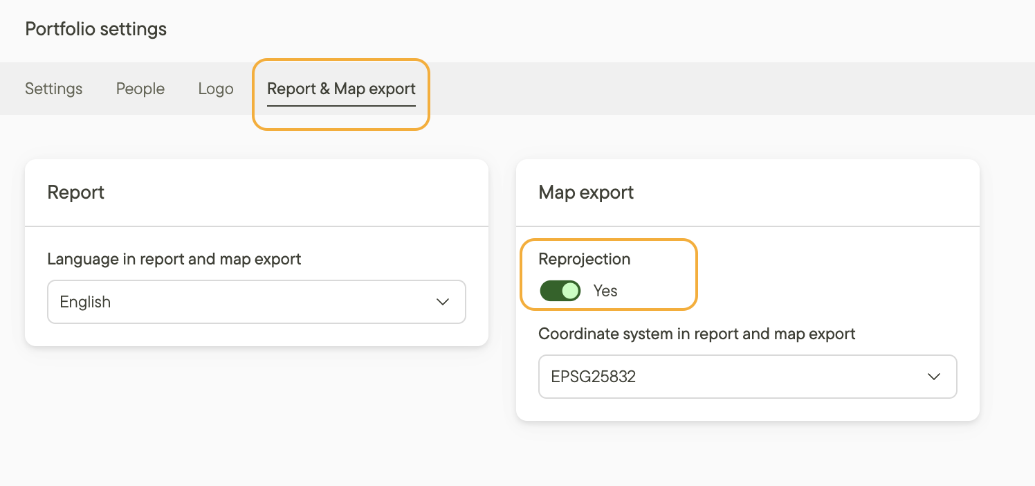
To get started, you must first enable the reprojection feature in your portfolio settings.
- Go to Portfolio settings.
- Select the Report & Map export tab.
- Toggle the Reprojection switch to On.
Configuring the map view export
Customize your map view export to display exactly what you need while maintaining clarity for your readers.
- Display specific object labels in your export
- Hide selected project objects from the export
- Include data layers with clear, descriptive legends
- Generate and export realistic 3D site visualizations instantly
- Add your own logo
- Customize object names in the legend
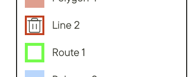
- Modify the fields displayed on the right side of the export - including editing or deleting legend lines
Additional resources
Learn more about designing your sites in Design in a click with Glint Solar.
Learn more about using data layers in Adding data from the layers library.