
Using the drawing tool
In Glint Solar, you can draw four types of objects: polygons, lines, automatically calculated grid distance routes, and rectangles, circles, or points. This guide covers:
- How to use the drawing tool to create these objects
- The properties of each object type
- Common use cases for each object
You can create all these objects using the drawing tools at the bottom of your Glint Solar screen.

How to use
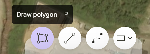
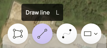
- Click on one of the Draw buttons at the bottom of the screen
- Click on the map to place your first point
- Continue clicking to add more points — these form the edges of polygons or the length of lines
- Press Enter to complete the object
- Your object will appear in the Objects list
Polygons
Lines
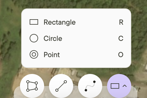
Circles, Points, and Rectangles
Routes
- Select a starting point and endpoint on the map
- You can add waypoints during or after route creation
- The routing tool automatically finds the shortest footpath and can be converted to a line for manual adjustments
Roads
Properties
Objects in Glint Solar can be marked as Include, Exclude, or Other:
- Include: Objects that will have panels added during analyses
- Exclude: Objects that will not have panels added during analyses
- Other: Objects that will not have panels added during analyses
Polygons
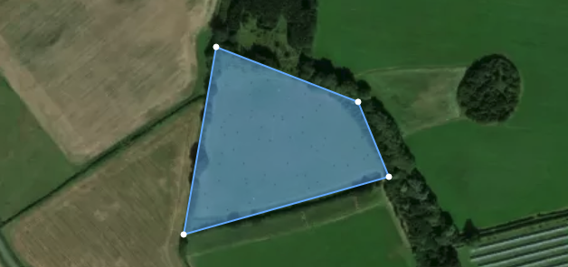
- Polygons have both length and width to create an area
- Polygons require at least three points to be created
- Polygons can be created by copying objects from map layers
- A polygon can be set as Include, Exclude, or Other
- Polygons can be merged, intersected, subtracted, or bulk deleted. You can read more here.
 |  |
Lines
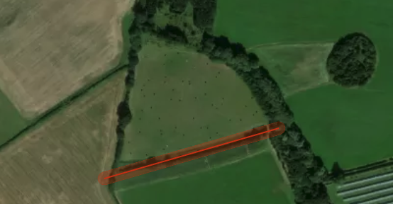
- Lines have length only
- Lines require at least two points to be created
- Lines can be created by copying objects from map layers
- A line can be set as Exclude or Other
 |  |
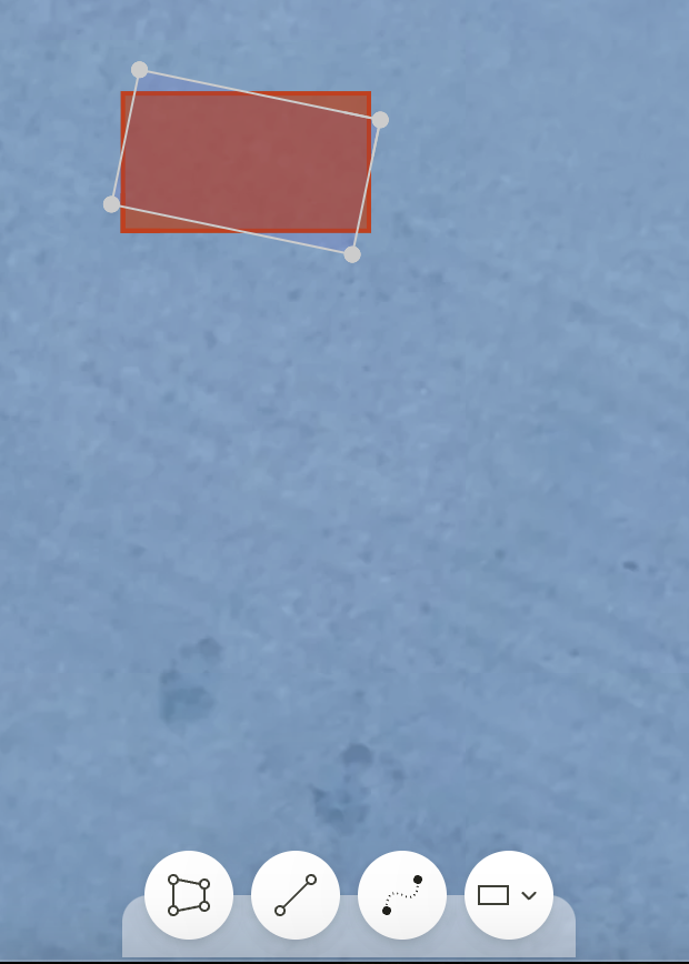
Rectangles, Circles, and Points
- Rectangles and Circles can be include, exclude, or other. Points can be exclude or other.
- All three can be dragged and dropped to desired location
- All three can be copied and pasted (command+c, command+v)
- Rectangles can be rotated 360 degrees
 |  |
3D Objects
Example Use Cases
Polygons
- Draw areas that pass constraint analysis for panel inclusion
- Draw areas too steep for panels that should be excluded
- Draw areas containing buildings to exclude from panel placement
- Draw areas with removable trees
- Copy parcels from the parcel layer to mark as Include
- Copy protected areas from layers to mark as Exclude
Lines
- Draw access roads to the site
- Draw rivers near the site and add buffers
- Copy grid lines from the grid layer
Rectangles, Circles, and Points
- Add points of interest to the map
- Mark notable objects on promising sites
- Add rectangles, circles, and points with buffers to create search radii for constraint analysis
Additional resources
It is also possible and to import projects to new and existing projects in Glint Solar with the easy to use Import function.
Read more about configuring objects here.