
Review DXF files
You can review designs in DXF format in Glint Solar using the Review feature, currently in beta. This is enabled by uploading a georeferenced DXF in Files in the left hand side of the screen while in a project.
When the upload is completed you get a new tab below called Reviews, next to the Analysis tab. From here you can see every layer in the DXF as a list and in the scene.
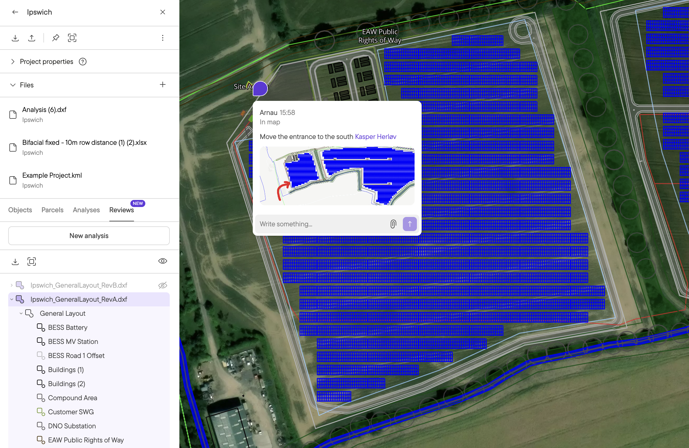
From here, you can for instance:
1. Measure distances to content in data layers from Glint Solar using the measure distance tool. This can help you verify detailed designs are in compliance with key criteria where the data is available in Glint Solar and not your CAD tool.
2. Copy vectors to Glint Solar by right clicking any layer in the DXF. If you have received an updated design with more precise lines for existing pathways on site, you can copy these from the DXF file to the objects list where they become editable. You can right click any layer to do this and select whether you want a polygon or line. This works for layers with up to 300 elements.
3. Collaborate directly in the scene. Unlike desktop CAD tools Glint Solar allows you to comment on designs in the scene. Less screenshots and emails, more add a pinpointed comment and @mention your colleague to cut to the chase.
Please note that we are showing the paper space content from the DXF. In case there are no paper spaces available, we will show the model space instead. If you are seeing something differently than what you expected, this could be a cause to investigate.
DXFs and analysis
A DXF file is a vector file not containing any information about panel types. inverters and similar. This means you cannot immediately go from DXF to design and analysis. However you can approximate an analysis to at least compare proposals across.
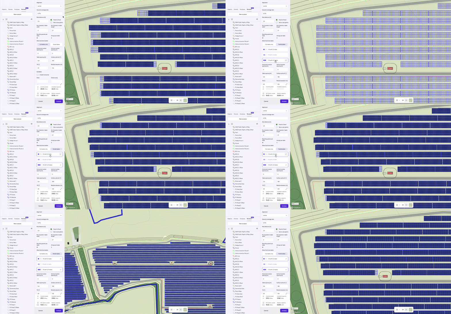
To do this, start a new analysis and toggle on the desired DXF file. Then you can start configuring a new design using all the available parameters.
You can configue the analysis to mimic the DXF design close as possible using panel types, distances etc. and get a reasonable estimate at least allowing comparison. You may also want to work with any changes to setbacks and buffers for the area overall.
Georeferencing
In order to accurately place your DXF in the project it is important that it is correctly georeferenced. This means the file needs to contain both a coordinate system and specific coordinates within this system.
Depending on which CAD program you are using, this will be done in different in different ways but the key is to not simply have a survey point with a local (0,0,0), but an actual georeferenced file.
As an example can see how to do this in Autocad here.
Feature under development
Reviews is a new feature supporting renewable projects as they mature through the lifecycle. We are actively looking to learn from customers on how to best support your projects and this responds to a range of customer feedback. We want to do more, so do reach out to kasper@glintsolar.com with your feedback and wishes.