
Measuring objects
Glint Solar offers several measurement tools — for measuring parcel areas, grid connection lengths, or distances between points. This article explains the available measurement tools and how to use them.
Measure distance
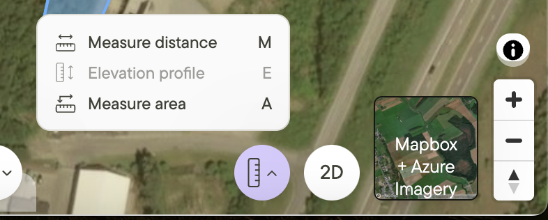
- Click on the Measure tool in the bottom right of your screen.
- Click on the map to create the first point.
- As you drag the cursor around the map, the distance between the first point and the cursor will be displayed.
- Click on the map to create additional points.
- Press Enter to complete the line and show its total length.
Measuring tool
 |
Measure area
There are a couple of different ways to measure the area of a polygon in the platform. If you draw a polygon, either via the measuring tool or the drawing tool, it’s area will be shown as you draw it.
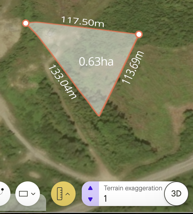
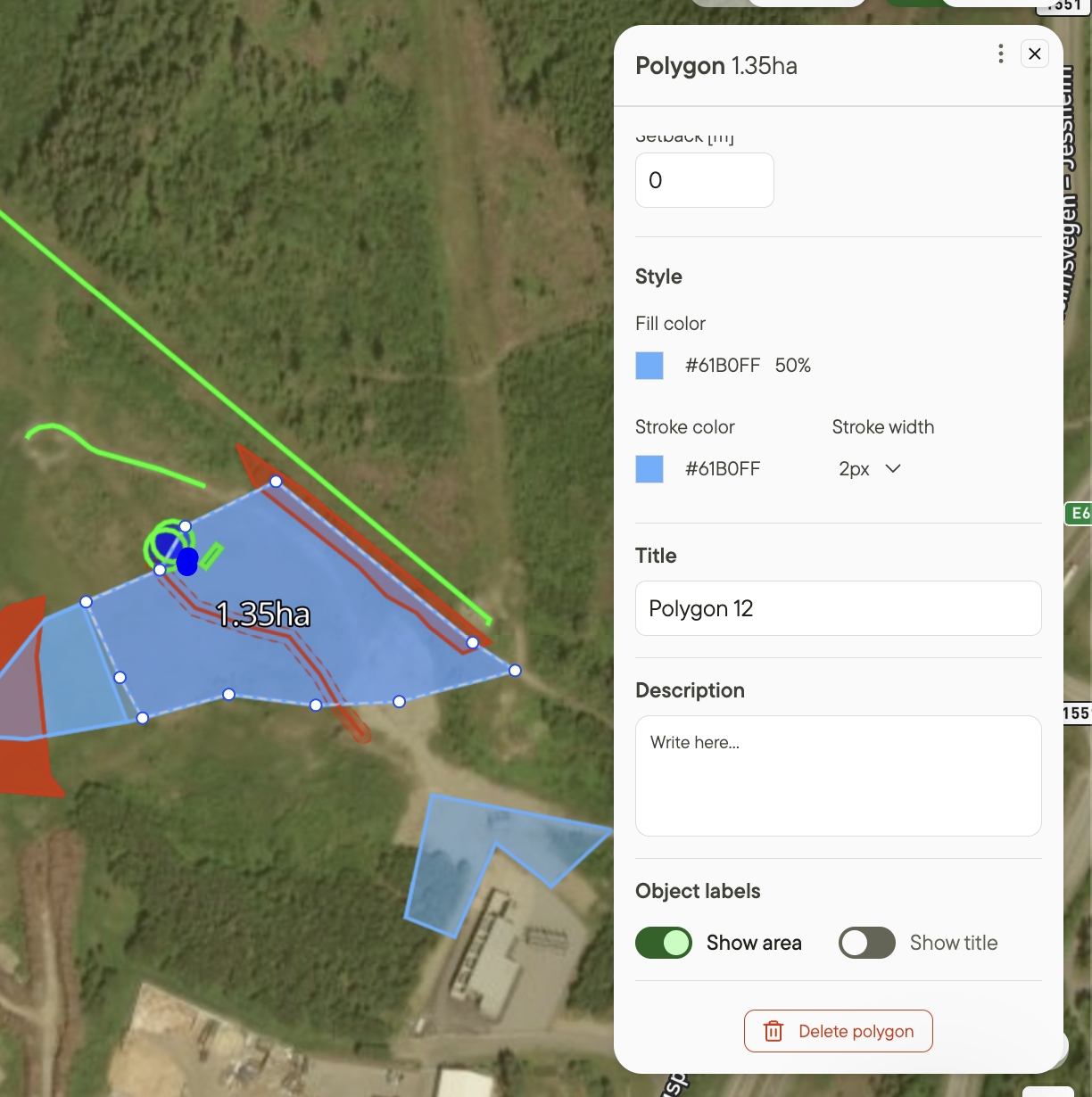
The second way is by accessing a polygon in a project from an object list. To do this, you would need to:
- Create a polygon object in a project.
- Click the Show area toggle under Object labels in the layer window.
- The area measurement will appear on top of the polygon.
- Click the Show area toggle again to hide the measurement.
You can view polygon areas without adding them as project objects.
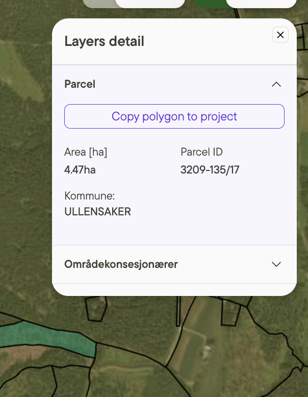
And finally, if you select a parcel on the map, it’s area will be shown in the layers window.
Elevation profile
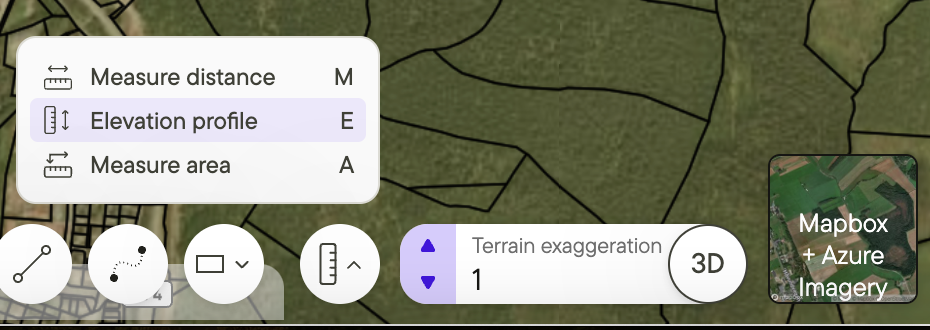
- This tool is only available in 3D mode.
- Click on the Elevation profile button in the bottom right of your screen.
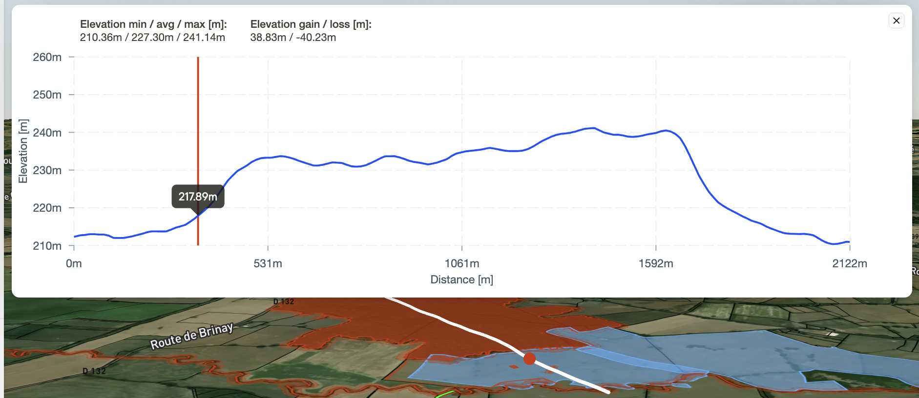
- Click on the map to create points between which you want to see the elevation profile.
- Press Enter to complete the line.
- An image representing the elevation profile and length of the line will appear.
- Click x in the upper right corner of the profile to exit out, or click on the Elevation profile button again to close the tool.
 |
Analysis output report
The analysis output report of any project includes some key measurements of the objects included in your project.
- Included area: The total area of all objects marked as Include.
- Excluded area: The total area of all objects marked as Exclude.
- Net area: The total Include area minus the total Exclude area.
- Grid connection length: The total length of all objects marked as grid connection.
Object measurements included | 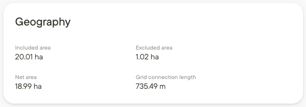 |
Additional resources
For more information on the analysis report see The analysis output report.
Read more about 2D and 3D visualization here.